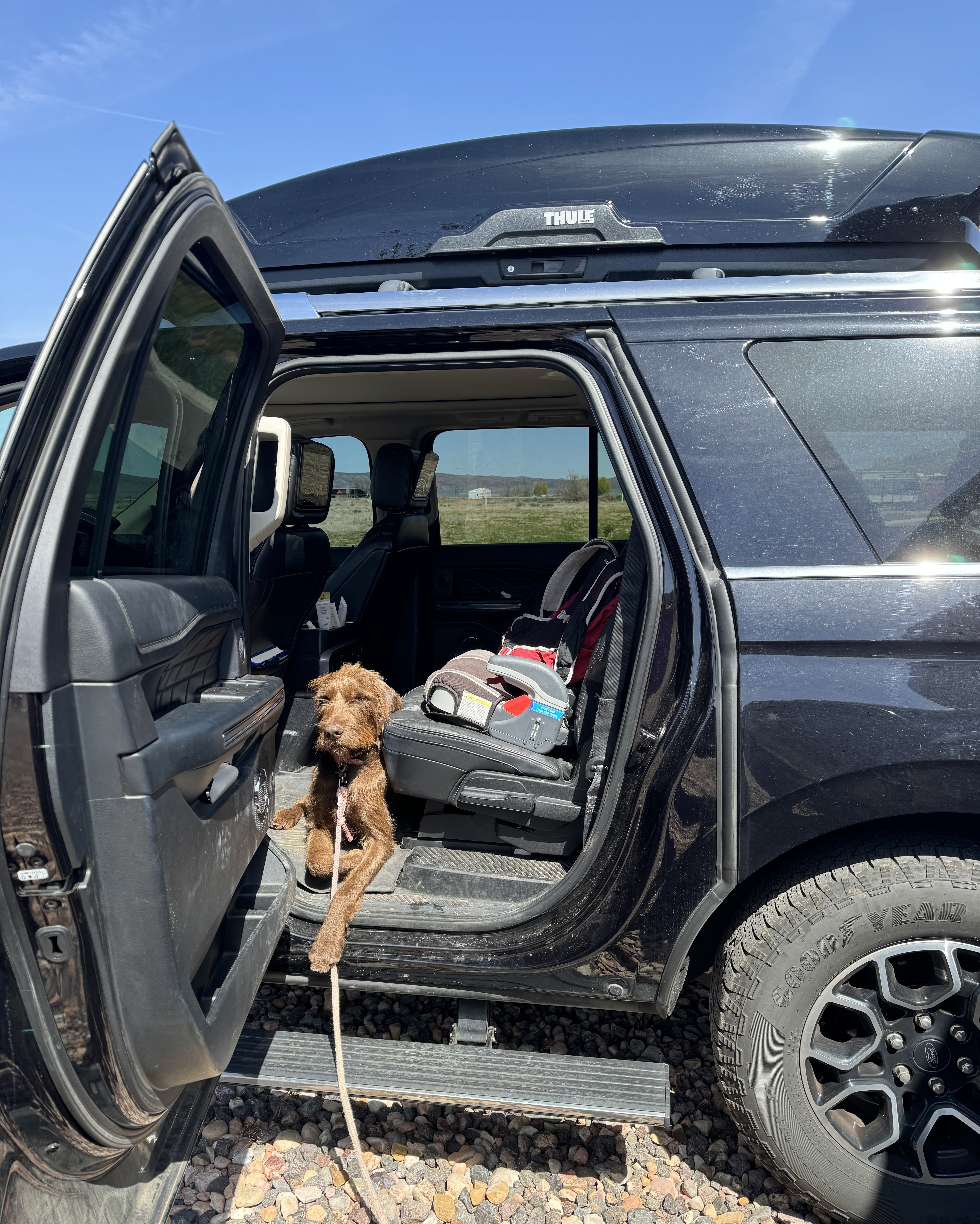
Riggs got to ride along the last time he put himself in the car whilst still tied up to the RV, so he tried that again today. 🤗 We had a long day planned and were already planning to bring him along, but we’ll let him think his little trick worked!
Our first stop of the day was to take a peek at Brian Head Resort. At 9,600 feet they were still skiing here in May!Next we headed to Cedar Breaks National Monument.Everything in the park is inaccessible right now because of the snow but the kids still had fun climbing around the visitor center.Cedar Breaks sits at over 10,000 feet and looks down into a half-mile deep geologic amphitheater. The overlook was breathtaking and also literally took your breath away because it was so cold. 🥶After a lot of steep and windy roads we finally we made it to Bryce Canyon National Park.Bryce Canyon is also called the Pink Cliffs and is the top step of the “Grand Staircase.”The interactive prairie dog tunnel exhibit was a riot. In between pretending to be prairie dogs the kids learned about the endangered Utah Prairie Dog.Bryce Canyon contains the most hoodoos of anywhere on Earth. Hoodoos are tall and thin rock spires of multiple colors and varying thickness. Hoo knew? 😆Bryce Canyon Junior RangersI had to drag Adler out of the bookstore so we could go outside and see some actual hoodoos.Everett was enthralled by the solar panels at the visitor center. He asked a ranger about them and he informed us that they are currently broken and don’t know when they will be able to be fixed. 😖We started our whirlwind tour of Bryce Canyon by checking out some overlooks. First up was Inspiration Point.Bryce Canyon isn’t really a canyon because it has no river. 😮 Talk about misleading!The hoodoos at Bryce Canyon are right around 50 million years old. The different layers of the hoodoos were super interesting to see. The bottom layer is mudstone, then red limestone, white limestone and finally dolomitic limestone. Then it was time to hike down and see these hoodoos up close.We picked the Sunset Point Trail which was ideal since it was well, almost sunset. 🌄Hoodoos are formed by frost wedging, which is similar to how potholes in the road are formed.The freeze/thaw cycle shapes the rocks bit by bit and creates tall, narrow hoodoos.It was pretty darn cool to be hiking among the hoodoos.The switchbacks of the Navajo Loop Trail reminded us of the hike at Zion!Huttons in a hoodooHoodoos is actually a mistranslation of the Pauite word “Oodoo” which means “Red Face Standing.” Ebenezer Bryce, a Mormon pioneer, built a road that ended in an amphitheater of pink cliffs in the 1860s. It is reported that he described it as a, “hell of a place to lose a cow.” 🐄 People started calling it “Bryce’s Canyon” and the name stuck. We could have spent all night on the trails but we had a 2 hour drive back to the campground ahead of us so we had to head back to the top. 🥲Rust, bacteria, and water are responsible for the stunning colors.Hundreds of years of erosion and frost wedging have formed these natural bridges. Hoodoo you love?!Hiked the hoodoos ✅



Leave a Reply